Puget Sound
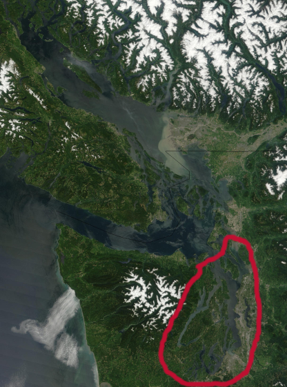
This image of the Salish Sea is a cropped image taken by NASA
and comes form the visibaleearth.nasa.gov web site.
Puget Sound is the body of water south of the Strait of Juan de Fuca. In the image it is the area within the red line.
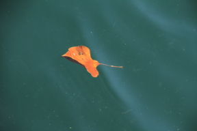
There is a rumor that we have clean water in Puget Sound; however, clean is a relative term. Here is a picture of what the water looks like in Puget Sound. I personally don't consider it clean. At times it is better, but in some places it is really bad. In most places you will not be able to see the bottom. The farther north you go in the Salish Sea the cleaner the water will get.
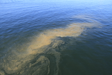
Here is an algae bloom that I got a picture of while riding the ferry from downtown Seattle to Bainbridge Island. The picture was taken in the summer time.
There are volunteers that walk some of the creeks to check if the salmon where able to spawn in the fall between mid-October and mid-December. They cut open female dead salmon to see if they still have their eggs. In the year 2012 Miller creek had a pre-spawn mortality rate of 95%, in Walker creek the rate was 57% and in Des Moines creek it was 100%. If the water is not clean they will die before they can spawn. One of the problems is run off from the streets. The run off water needs to be filtered before it goes into the streams. In some areas they are working to solve this problem.